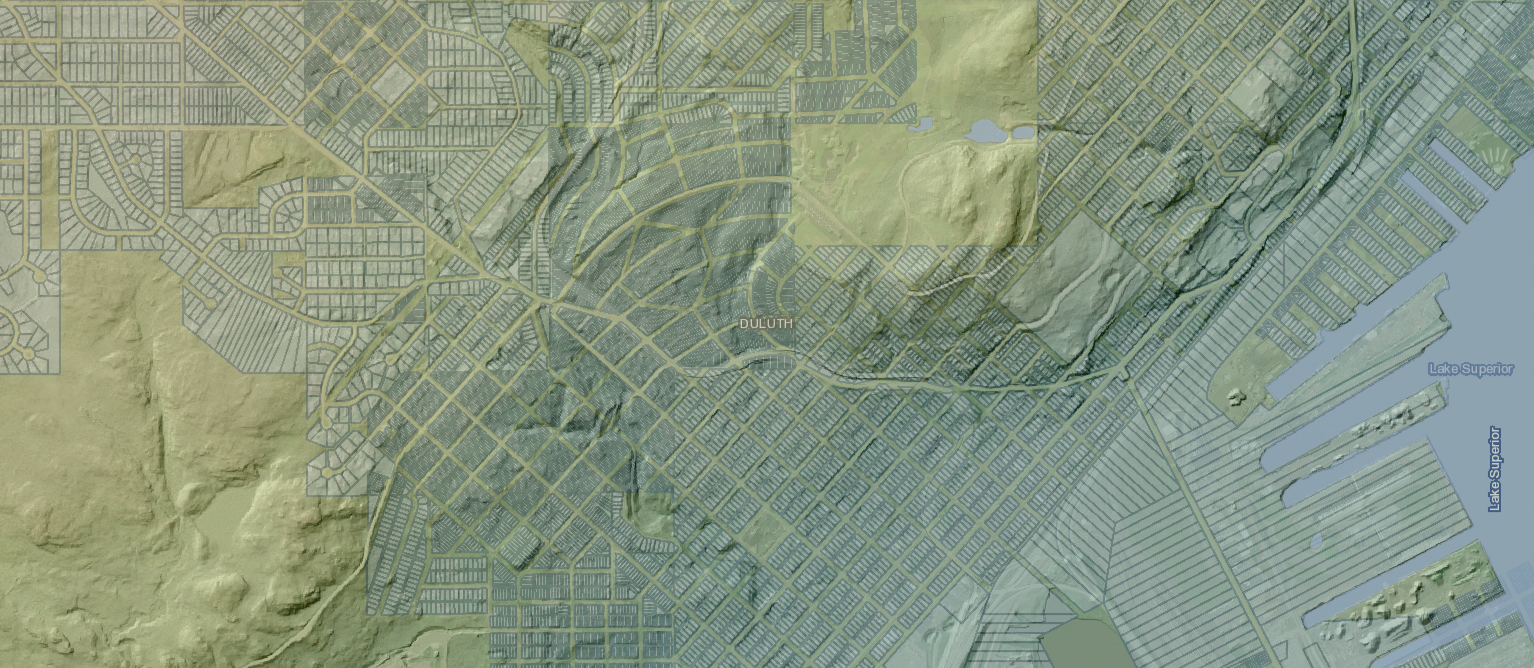
St. Louis County provides free GIS parcel and geospatial data to support business mapping needs. The County utilizes and maintains geospatial data for critical business operations.
Download Geospatial Data
Download Tax Parcel data for use in Google Earth
Download Aerial Imagery